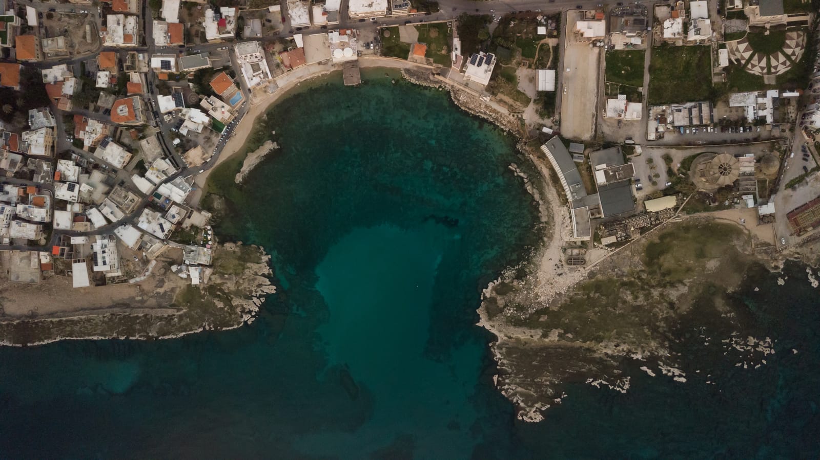
Exploring Photogrammetry and LiDAR: A New Era in Mapping

Introduction to Photogrammetry and LiDAR
As we navigate the ever-evolving landscape of technology, the fields of cartography and mapping are experiencing a significant transformation through advances in photogrammetry and LiDAR. Photogrammetry, the science of making measurements from photographs, and LiDAR, which stands for Light Detection and Ranging, are reshaping how we perceive and map the world. This modern era in mapping empowers industries with accuracy, efficiency, and detailed data that were previously unimaginable.
Photogrammetry mapping allows us to create three-dimensional models and maps from two-dimensional images, offering a new depth of detail that supports various applications from urban planning to environmental monitoring. On the other hand, LiDAR uses laser pulses to generate precise, three-dimensional information about the shape of the Earth and its surface characteristics. Together, they provide an exceptional toolkit for cartographers seeking innovative solutions. As we explore these technologies, it's clear that they are not just tools but pivotal elements forging new paths in mapping.
Revolutionizing Cartography: The Role of Photogrammetry
Photogrammetry is rapidly becoming indispensable in the world of cartography and mapping. By converting images into detailed maps, it provides a cost-effective and efficient means to capture vast areas that might otherwise be challenging to document. The applications of photogrammetry in mapping are as varied as they are vital.
From precise topographic mapping to urban development planning, photogrammetry allows for the creation of high-resolution maps that are crucial for decision-making processes. Imagine the ability to accurately map a city's infrastructure or track environmental changes in real-time. Photogrammetry provides the data needed to turn these possibilities into reality.
As businesses and governments increasingly rely on data-driven insights, the role of photogrammetry in cartography continues to expand. Its ability to revolutionize traditional mapping methods is not just about adding a third dimension but about enriching our understanding of the spatial world.
LiDAR in Mapping: Precision and Efficiency
When it comes to precision and efficiency in mapping, LiDAR stands out as a game-changer. Its applications in cartography are numerous, with its ability to penetrate forest canopies and measure ground surfaces being particularly notable. This capability makes LiDAR an invaluable tool for a variety of mapping projects.
LiDAR applications in cartography range from detailed topographic maps to infrastructure development. For example, in urban settings, LiDAR can quickly and accurately map the layout of roads, buildings, and utilities, providing essential data for urban planning and development. In natural environments, it helps assess terrain, manage forests, and monitor erosion.
The efficiency of LiDAR technology is unmatched, often completing tasks in hours that would take traditional survey methods weeks or even months. With its precision and speed, LiDAR continues to redefine what is possible in mapping, offering a level of detail and accuracy that is unparalleled.
Integrated Approaches: Combining Photogrammetry and LiDAR
In the pursuit of comprehensive mapping solutions, combining photogrammetry and LiDAR offers an integrated approach that capitalizes on the strengths of both technologies. This synergy enhances the accuracy and detail of maps, providing a more rounded understanding of the terrain.
Consider the scenario where photogrammetry mapping provides visual data with RGB information, while LiDAR adds depth with its elevation and surface data. Together, these technologies create a multidimensional view that is both rich in detail and context.
Integrated approaches are particularly beneficial in complex environments, such as urban landscapes where a high level of detail is necessary. By leveraging the unique capabilities of photogrammetry and LiDAR, cartographers can produce maps that are not only accurate but also adaptable to a wide range of applications.
This powerful combination is paving the way for future innovations, offering new opportunities for industries that depend on precise and reliable mapping.
Future Trends in Mapping Technologies
The future of mapping technologies is poised to be as dynamic as its current transformations, with photogrammetry and LiDAR leading the charge. As these technologies continue to evolve, we can anticipate even greater levels of accuracy and efficiency in cartography and mapping.
One trend to watch is the integration of artificial intelligence and machine learning with photogrammetry and LiDAR, which will further enhance data processing and interpretation. Another exciting development is the rise of autonomous drones equipped with these technologies, allowing for real-time data collection over extensive areas.
As environmental concerns and urbanization pressures grow, the demand for precise mapping will only increase. Photogrammetry and LiDAR, with their advanced capabilities, are well-positioned to meet these challenges and usher in a new era of cartography.
In this rapidly changing landscape, staying informed about the latest advancements is crucial for professionals in the field, ensuring they remain at the forefront of mapping innovation.

Revolutionizing Geographic Information Systems (GIS) with Drones

Latest Trends & Case Studies in GIS Mapping

The Power of GIS Mapping in Tackling Plastic Waste