Welcome to Proffer GIS Blogs
Discover the latest insights, trends, and innovations in Geo Mapping, LiDAR, and Photogrammetry services.
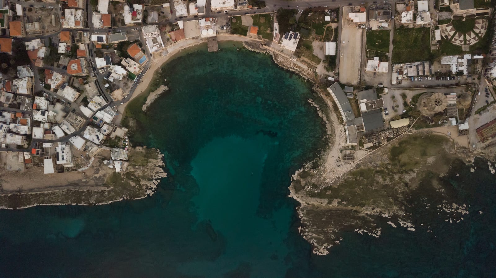
Revolutionizing Geographic Information Systems (GIS) with Drones
Drones are transforming Geographic Information Systems (GIS) with their ability to collect and analy...

Latest Trends & Case Studies in GIS Mapping
The field of Geographic Information Systems (GIS) is rapidly evolving, driven by advancements in tec...
The Power of GIS Mapping in Tackling Plastic Waste
This blog post delves into the methods and applications of GIS in mapping agricultural plastic waste...

LIDAR VS. PHOTOGRAMMETRY: UNDERSTANDING THE GEOSPATIAL TECHNOLOGIES
This article discusses the comparison between two geospatial technologies: LiDAR (Light Detection an...

LiDAR vs. Photogrammetry: Understanding the Geospatial Technologies
Explore the comprehensive comparison between LiDAR and photogrammetry, unveiling their unique benefi...

Exploring Photogrammetry and LiDAR: A New Era in Mapping
Discover how Photogrammetry and LiDAR are transforming cartography and mapping, offering unparallele...

LiDAR vs. Photogrammetry: Distinctive Features and Applications
Explore the key differences between LiDAR and Photogrammetry in creating 3D models and maps. Underst...