Revolutionizing Geographic Information Systems (GIS) with Drones
The Role of Drones in GIS Applications
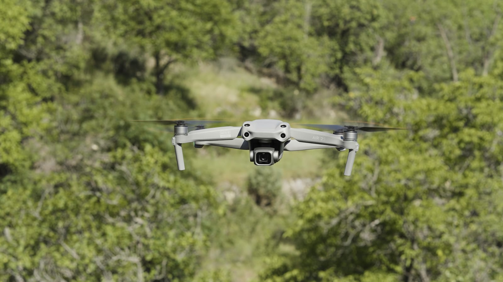
In the rapidly evolving field of Geographic Information Systems (GIS), drones have emerged as a game-changer, offering unprecedented capabilities for data collection and analysis. Here's how drones are transforming GIS applications and paving the way for innovative solutions across industries:
1. Precision Mapping and Surveying
Drones equipped with high-resolution cameras and LiDAR sensors can capture detailed aerial imagery and 3D models with great accuracy. This is particularly useful for topographic mapping, where traditional methods may be less efficient or cost-effective.
Example: Surveyors use drones to map large agricultural fields, providing farmers with precise data on soil types, crop health, and irrigation patterns. This information helps optimize crop management and increases yield.
2. Environmental Monitoring and Management
Drones facilitate real-time monitoring and data collection for environmental applications, such as tracking changes in land use, assessing natural disasters, and managing natural resources.
Example: Environmental agencies deploy drones to monitor forest health and detect illegal logging activities. The detailed imagery helps in conserving biodiversity and planning sustainable land use.
3. Urban Planning and Infrastructure Development
Drones provide planners and engineers with up-to-date, accurate data for modeling and analyzing urban areas. This aids in effective planning and management of infrastructure projects.
Example: In urban development, drones are used to survey construction sites, monitor progress, and ensure compliance with regulations. This results in more efficient project management and reduced costs.
4. Disaster Response and Management
In disaster-stricken areas, drones offer rapid and safe assessment capabilities, providing critical data for emergency response teams.
Example: Following a natural disaster, drones can quickly survey impacted areas, helping authorities prioritize relief efforts and resources effectively.
By integrating drones into GIS applications, industries can leverage high-quality data for better decision-making, enhanced operational efficiency, and sustainable development. As technology continues to evolve, the potential for drones in GIS is boundless, opening new horizons for innovation and growth.
Software Used in Drone-Based GIS Applications
To effectively utilize drones in GIS, various software tools are employed for data processing and analysis:
- Pix4D: Provides photogrammetry software for drone mapping, capable of creating orthomosaic maps and 3D models.
- DroneDeploy: Offers reality capture solutions that combine drone mapping with photo documentation across the asset lifecycle.
- Esri ArcGIS: Supports drone mapping with desktop and cloud solutions for flight planning and image analysis.
- Autodesk: Known for its drone surveying software, enabling the capture and creation of 3D models from drone data.
Role of CAD Services Companies
CAD services companies play a crucial role in transforming drone-collected data into actionable insights. They integrate CAD and GIS software to offer comprehensive solutions for:
- Design and Modeling: Creating detailed 3D models and simulations from drone data.
- Analysis and Reporting: Providing analytical insights to optimize planning and decision-making.
- Integration and Customization: Tailoring software solutions to meet specific industry needs, enhancing the versatility of drone applications.
Conclusion: Proffer GIS's Contribution
Proffer GIS is at the forefront of providing cutting-edge CAD/GIS services. By leveraging advanced technologies and expert knowledge, Proffer GIS offers geo-mapping, LiDAR, and photogrammetry services. Their commitment to delivering accurate and reliable geographic data helps clients across various sectors optimize their operations and achieve sustainable growth1.
Let's embrace this technological evolution and explore the infinite possibilities drones bring to GIS!